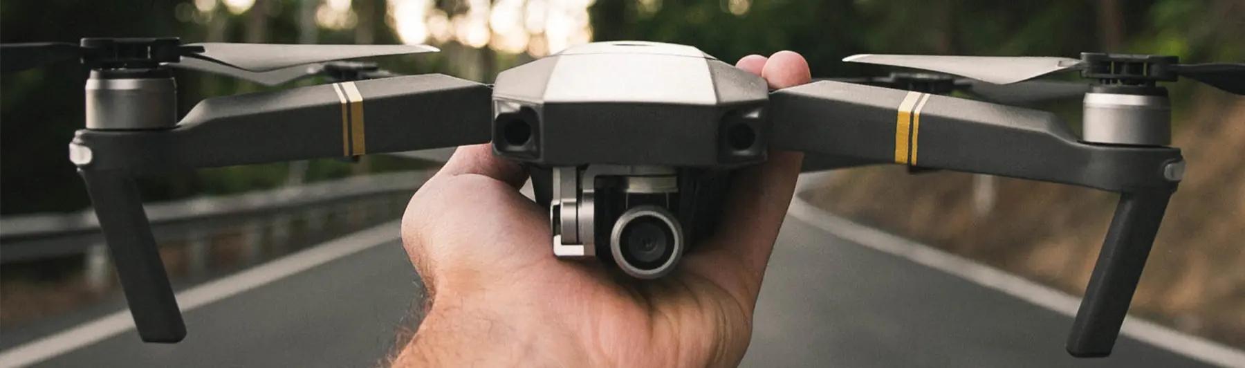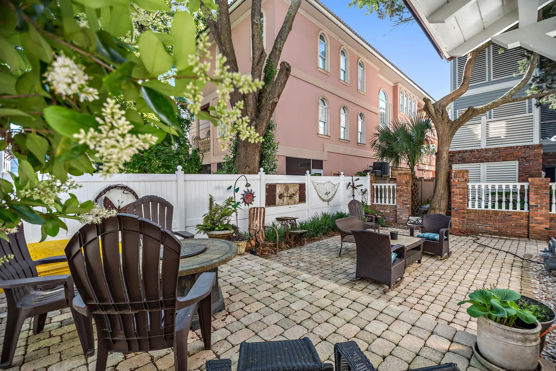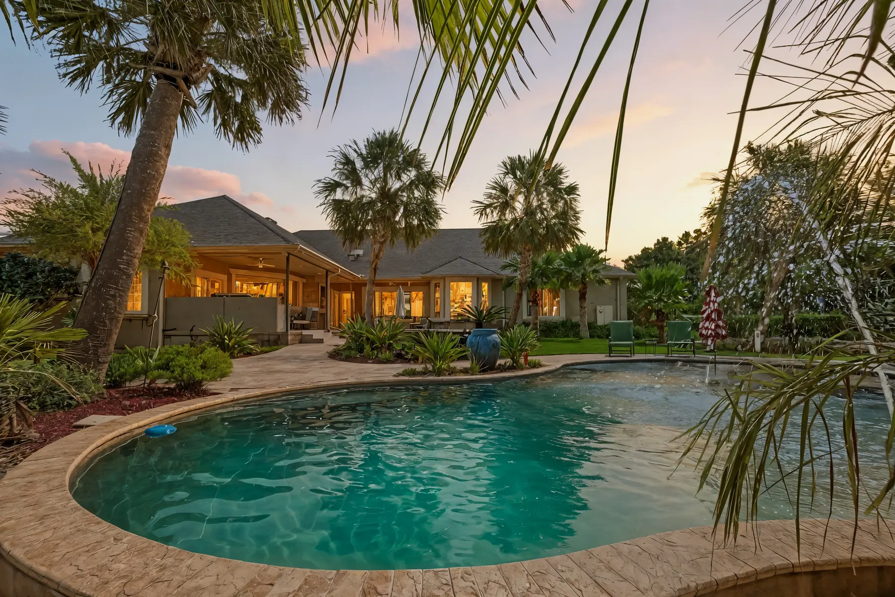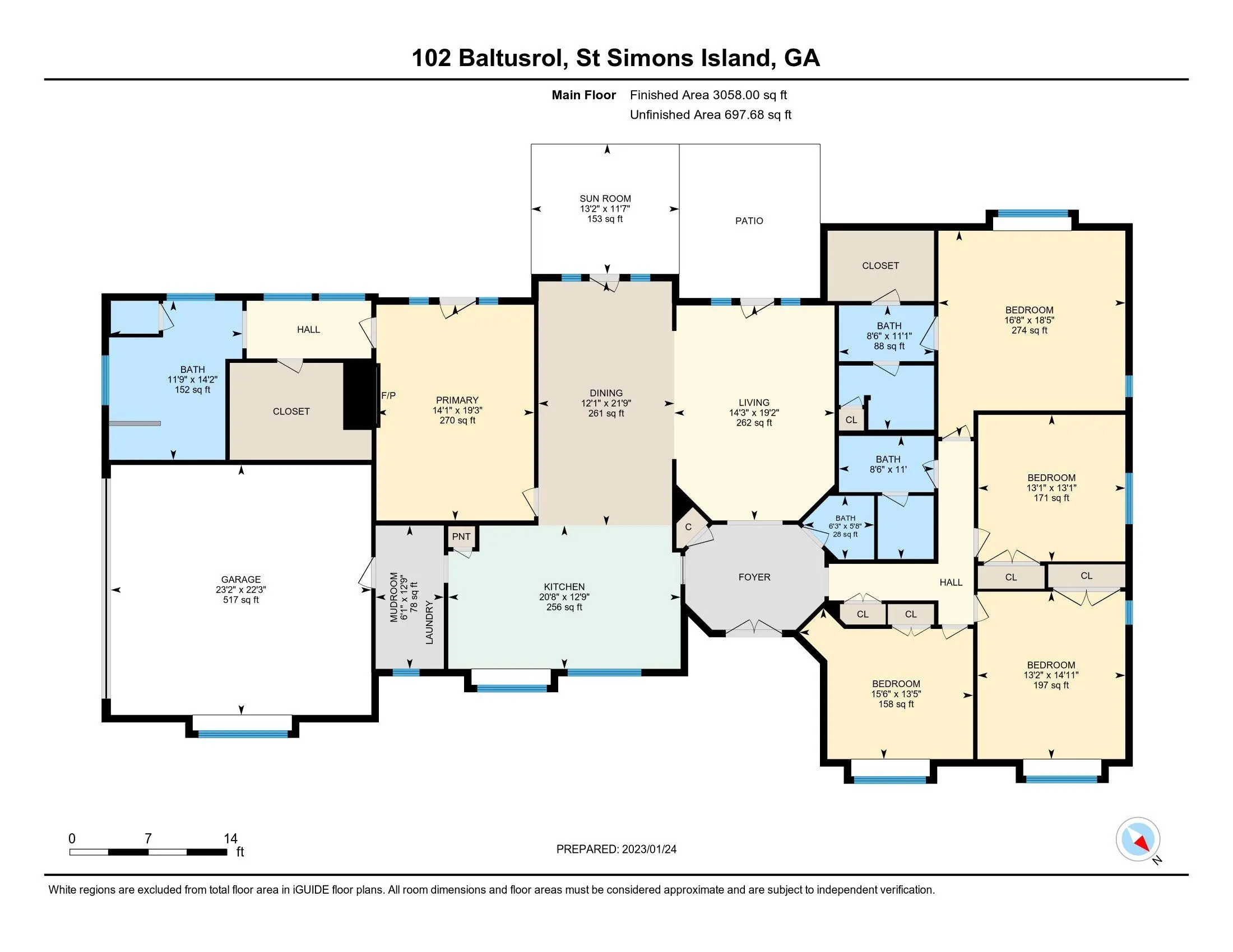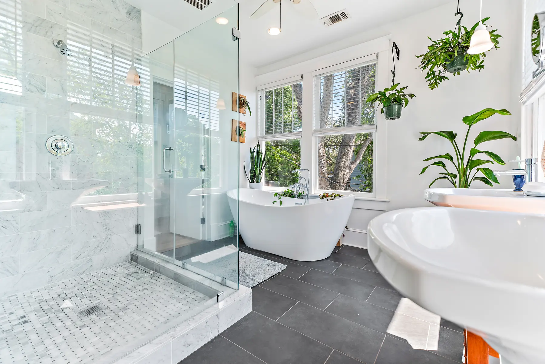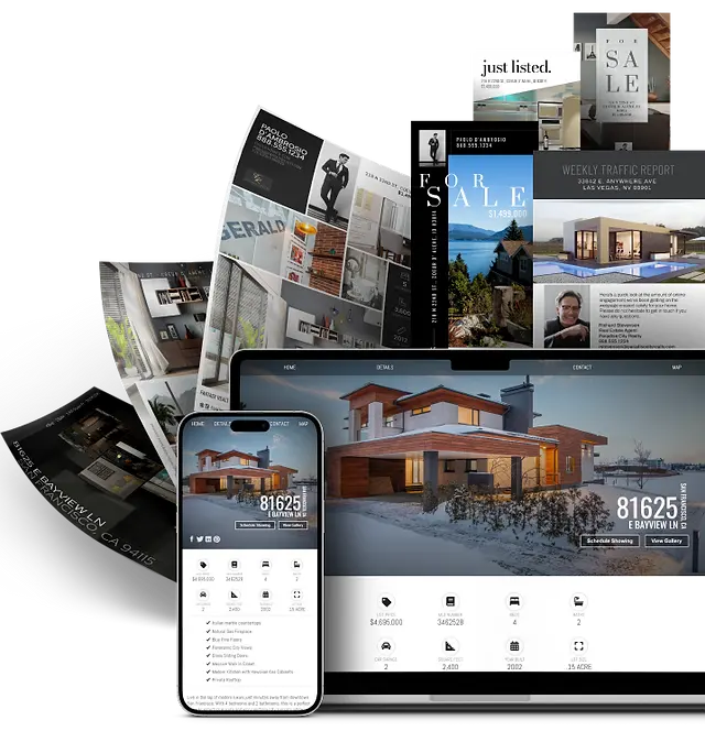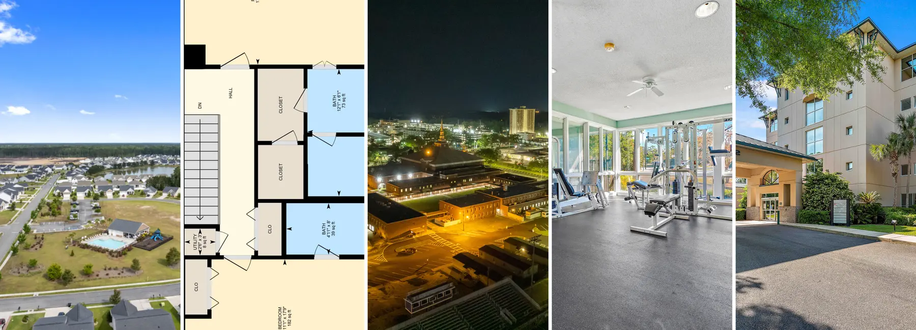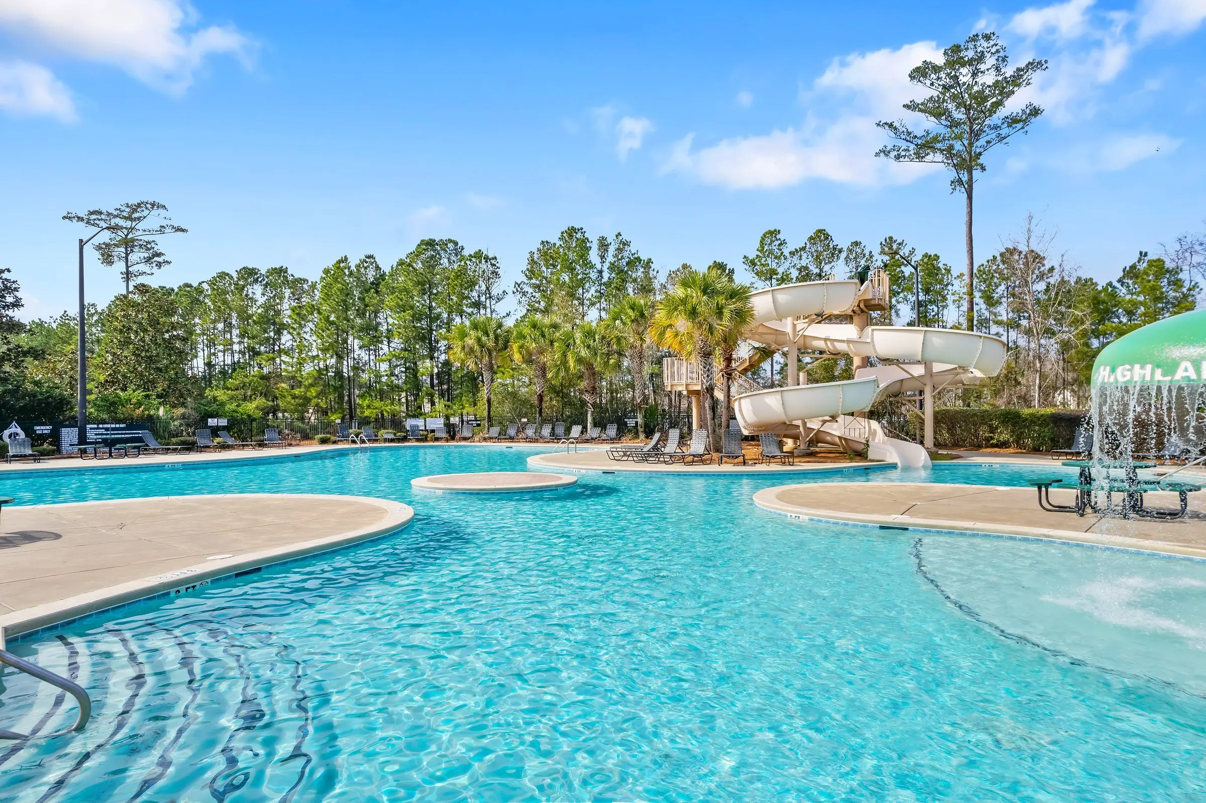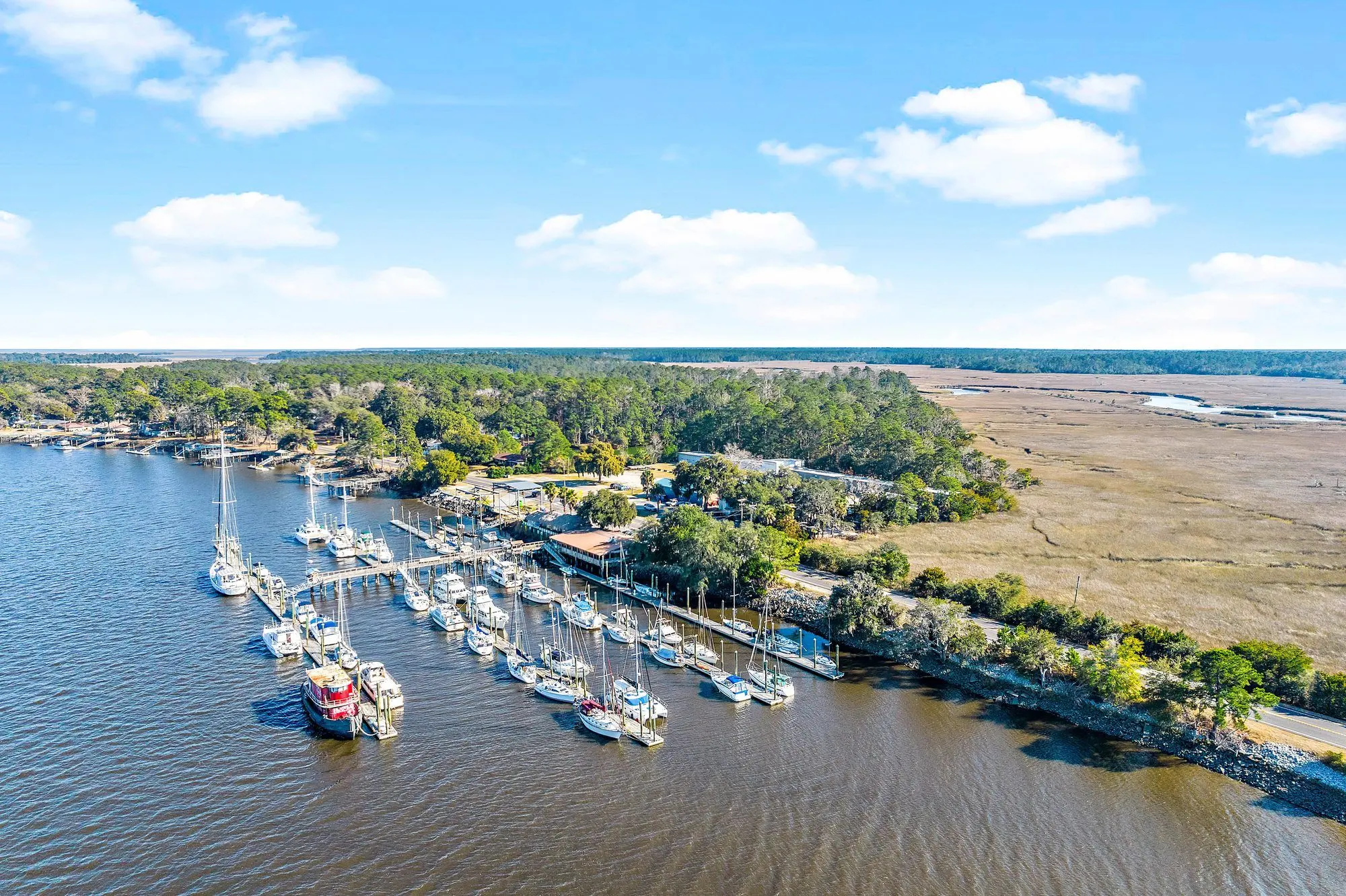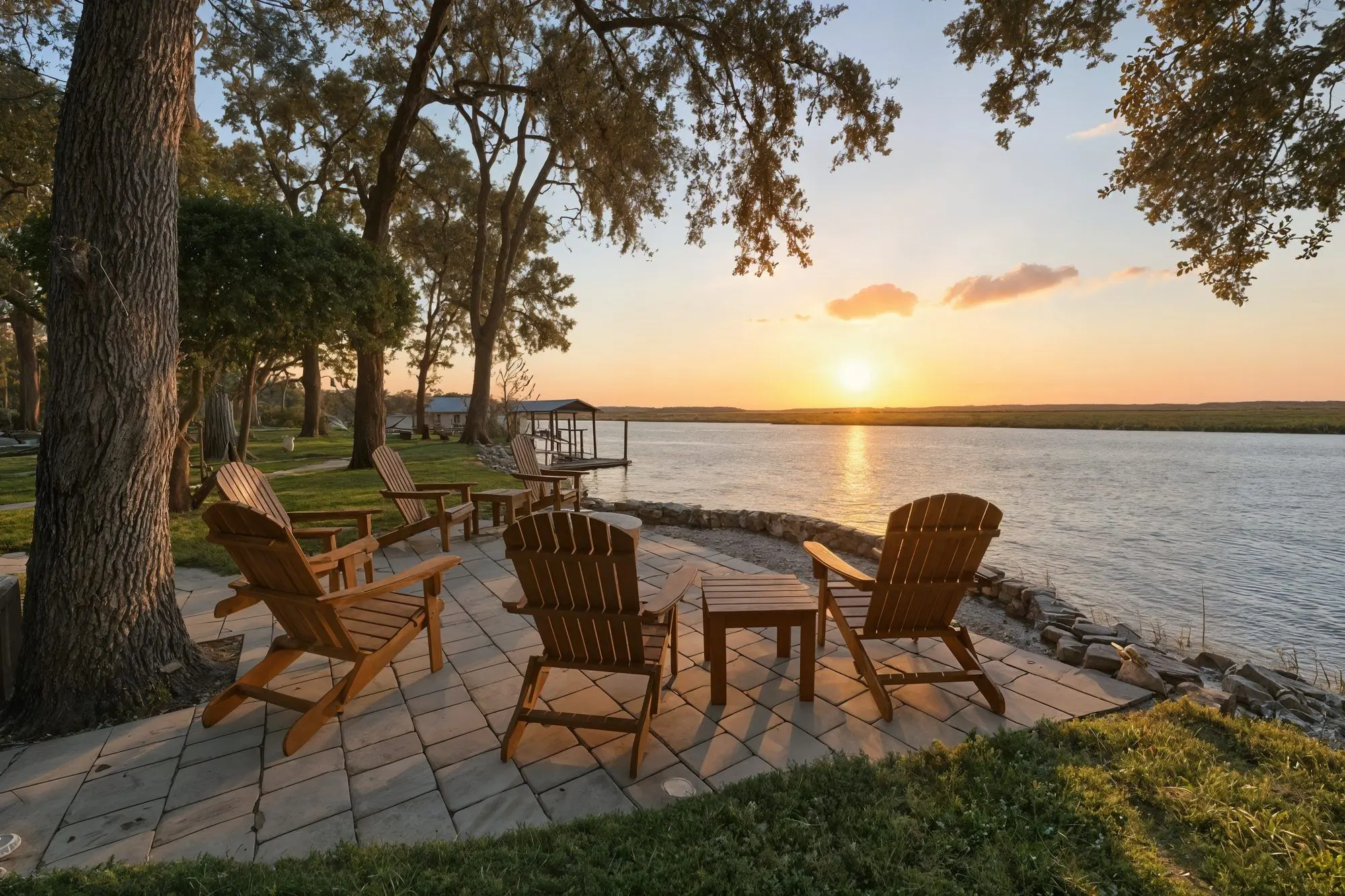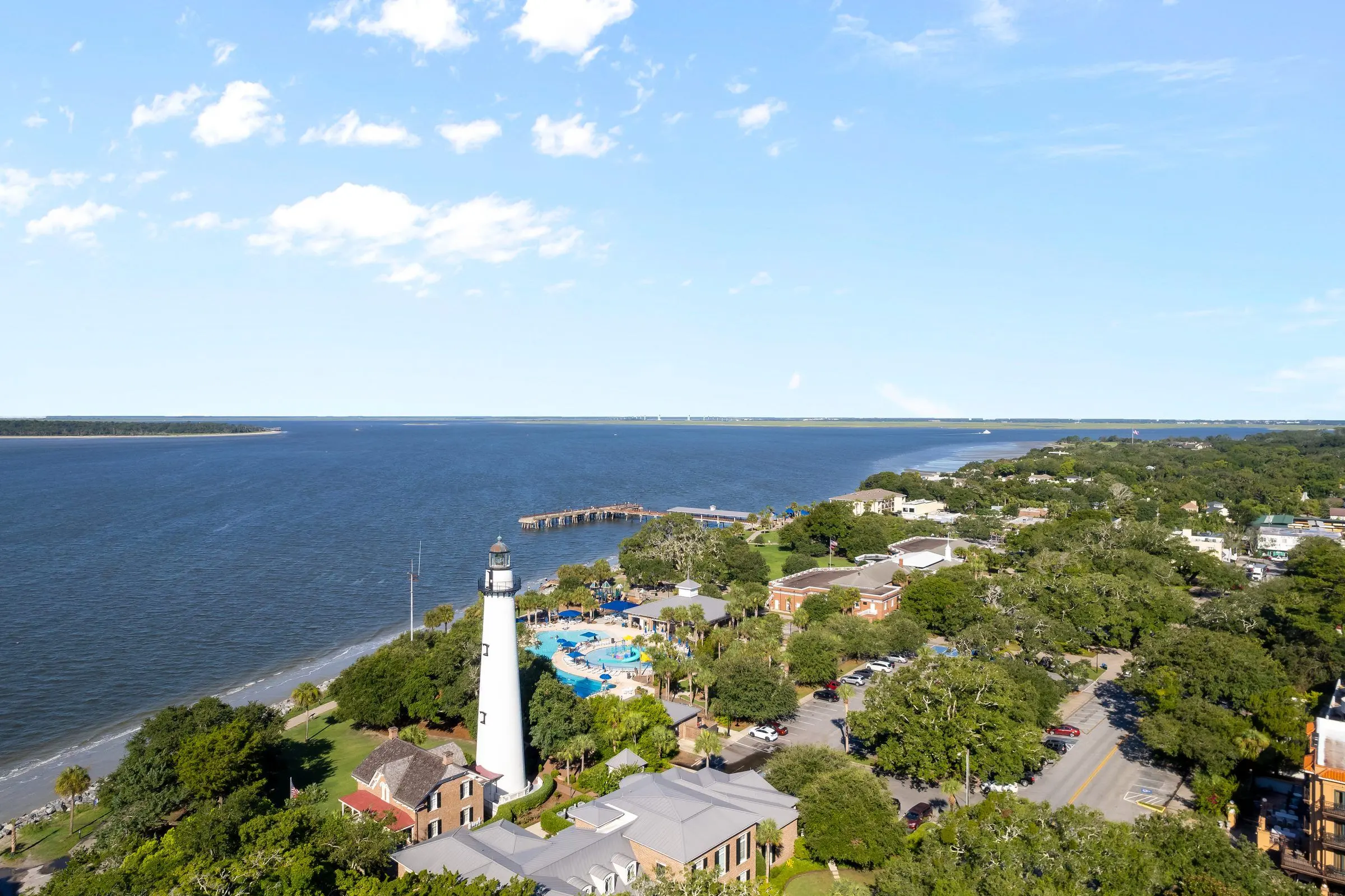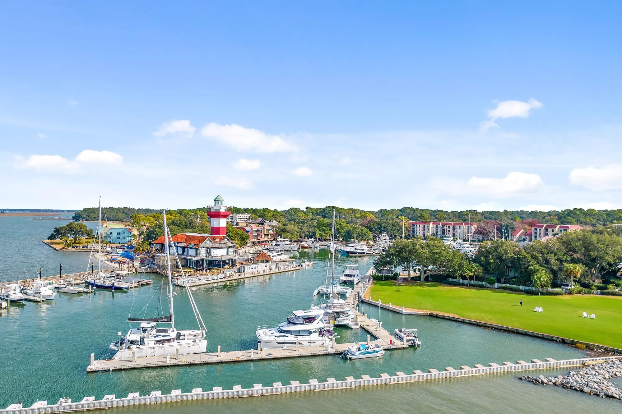
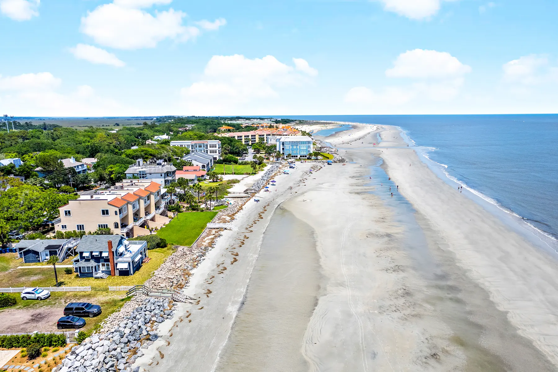
Aerial photos and video show property size, lot lines, pools, landscaping, and the setting that a ground photo cannot hold in one frame. On the coast, that setting is often the reason someone writes an offer.
We fly listings from Savannah and the islands to Brunswick, St. Simons, Hilton Head, and Bluffton. Downtown rooftops, marshfront homes, golf holes, and larger tracts all benefit from the overhead view.
What aerials are for
The whole property. Buyers can see how the house sits on the lot, where the pool is, and how the yard connects to the water or the fairway.
The location. Proximity to a marsh, a beach, a golf course, or a neighborhood is easier to understand from above. You are selling the setting, not only the floor plan.
Drone video. Smooth aerial clips pair with interior video so a buyer feels the scale of the property. See real estate video for walkthroughs, presentations, and short-form clips.
Land, water, and unusual architecture. Aerials earn their place on acreage, waterfront, new developments, and commercial sites. They are just as useful on a typical subdivision home when the lot or the view is the story.
FAA-certified pilots
Every drone pilot on our jobs is FAA-certified and insured for commercial work. You can put the footage in a listing without guessing whether the flight was legal.
How a drone shoot works
We look at the property before launch and plan angles, light, and the flight path. The set includes stills and HD video clips. Stills get the same kind of HDR editing and color correction as the ground photos, so the aerials match the rest of the gallery.
Aerial photos and video edits are delivered the next day, with the rest of the order.
If the listing is on the water or a golf course in Bluffton or Hilton Head, St. Simons, or the Savannah islands, add aerials. The setting is often what sells the home.